 |
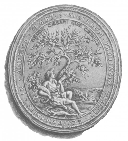
| Seal of the Province of Western New Jersey |
That man was Surveyor-General George Keith. The line that he drew on the map was a very straight one. The purpose of the survey was to clarify disputes resulting from the earlier 1676 Quintipartite Deed, which created the two territories. On July 1, 1676, William Penn, Gawen Lawrie (who served from 1683 to 1686 as Deputy to Governor Robert Barclay), Nicholas Lucas and Edward Byllinge executed a deed with Sir George Carteret known as the “Quintipartite Deed,” in which the territory was divided into two parts. East Jersey was taken by Carteret, and West Jersey by Byllinge and his trustees.
The newer "Keith Line" runs North-Northwest from the southern part of Little Egg Harbor Township, passing just north of Tuckerton. The line was to continue upward to a point on the Delaware River which is just north of the Delaware Water Gap, but Keith was stopped in his survey. Hewas stopped by the Governor of West Jersey, Daniel Coxe, when he had reached the South Branch of the Raritan River (now Three Bridges in Readington Township).
Other more accurate surveys and maps needed to be made to resolve property disputes. But my own interest in the Keith Line is more cultural. These days, some people use this line as a way to mark the boundary between things like the "spheres of influence" for New York City sports teams and Philadelphia sports teams, such as the New York Giants (who play all their home games in New Jersey!) and the Philadelphia Eagles.
I like that when George took his 70-mile walk he defined some of New Jersey's history and that history still exists in some ways today. Remember, these disputed boundaries were between two British provinces, and this was happening about a century before the Declaration of Independence was signed.
It is not that his survey settled all arguments amongst New Jerseyeans about what divides the state, and there are still many opinions on what is North, Central or South Jersey. But Keith's line and subsequent lines have stuck over the years as the boundary of East and West Jersey.
 |
| The original provinces of West and East New Jersey are shown in yellow and green respectively. The Keith Line is shown in red, and the Coxe and Barclay line is shown in orange |
But the boundary was not surveyed again for another 60 years. According to Robert Barnett's website WestJersey.org. there at least 5 boundary lines - 2 before and 2 after Mr. Keith's.
The ruler-straight Keith Line is still a marker for municipal and county boundaries from Southern Ocean and Burlington counties up to Warren.
A good part of Barnett's interest in all this is because of the two quite different distinct populations that settled in the two provinces. West Jersey was primarily populated by Quakers (see William Penn) and the East Jersey Province was primarily made up of Calvinists or Reformed Christians.
Religion isn't the distinction between those two areas of the state today, but differences remain. One example of the historic distinction can be seen in cemeteries east and west. Some of the western Quaker burial grounds are simple and uniform, while the oldest northeastern ones will have ornate monuments.
Other distinctions are much broader (and more questionable) generalizations, such as West Jersey being more "blue-collar" and more likely to have a simpler Quaker-ish pace as compared to East Jersey being wealthier and faster-paced. Of course, there is some real evidence if you look at things like Census data on taxes, income and home values, which are all significantly higher in the East.
Despite being close to Philadelphia, the west has about a third of the population living in more rural or suburban communities.
As other writers have noted, there is a pretty distinct line dividing the fans of the Phillies vs. Mets or Yankees, Eagles vs. Jets or Giants. In language, there are some food regionalisms like hoagie vs. sub sandwiches, water ice vs. Italian ice, and pork roll vs. Taylor Ham. All topics for barroom arguments in NJ.
And we haven't even gotten into where South Jersey begins, or the Lenape or Lenni-Lenape (later European-renamed Delaware Indians) who occupied these areas long before the Europeans arrived.
This article first appeared on Weekends in Paradelle
No comments:
Post a Comment